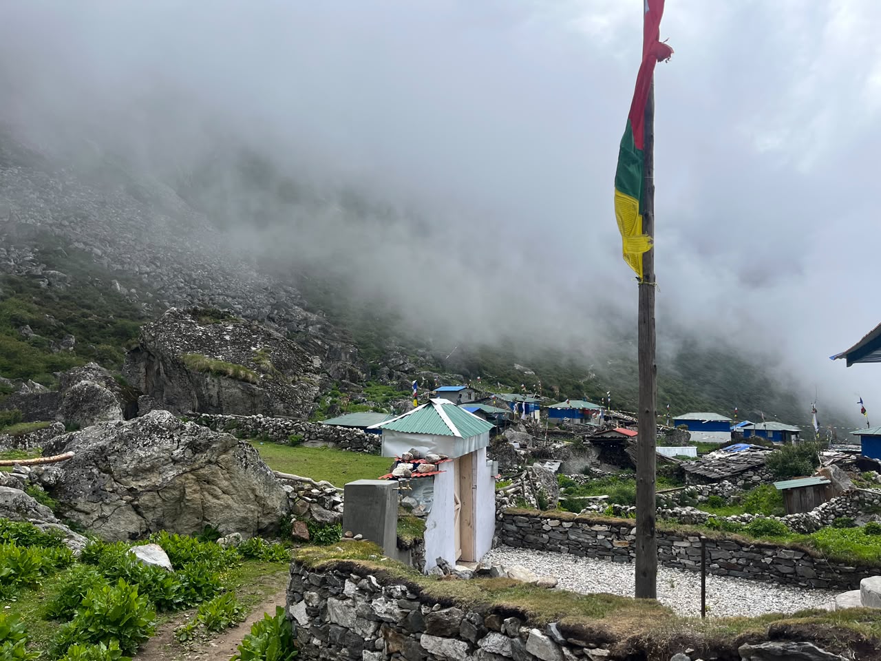
Most people who've heard of Lapche Valley know it as a name from old pilgrimage stories, not a place you can actually plan a weekend around. Tucked into Dolakha district, hard against the Tibet border beneath the twin summits of Gauri Shankar, Lapchi (also spelled Lapche) has been a sacred retreat for Tibetan Buddhists for nearly a thousand years — and until recently, reaching it meant a serious multi-day trek. Not anymore. I rode the whole thing on a motorcycle and filmed it for my channel; you can watch the full journey to Lapche Valley on YouTube.
By Motorcycle from Kathmandu
The trip starts right in Kathmandu — no bus, no jeep hire, just a motorcycle and a full day of riding out through Dolakha district toward the Tibet border. The road out of the valley gives way to the kind of riding that defines rural Nepal: long climbs into the hills, switchbacks with drop-offs that keep you honest, stretches of packed dirt and loose gravel the closer you get to Lapche. It's not a comfortable ride, and it isn't meant to be. That's the whole appeal — covering in one long day on two wheels a route that used to take pilgrims and trekkers several days on foot.
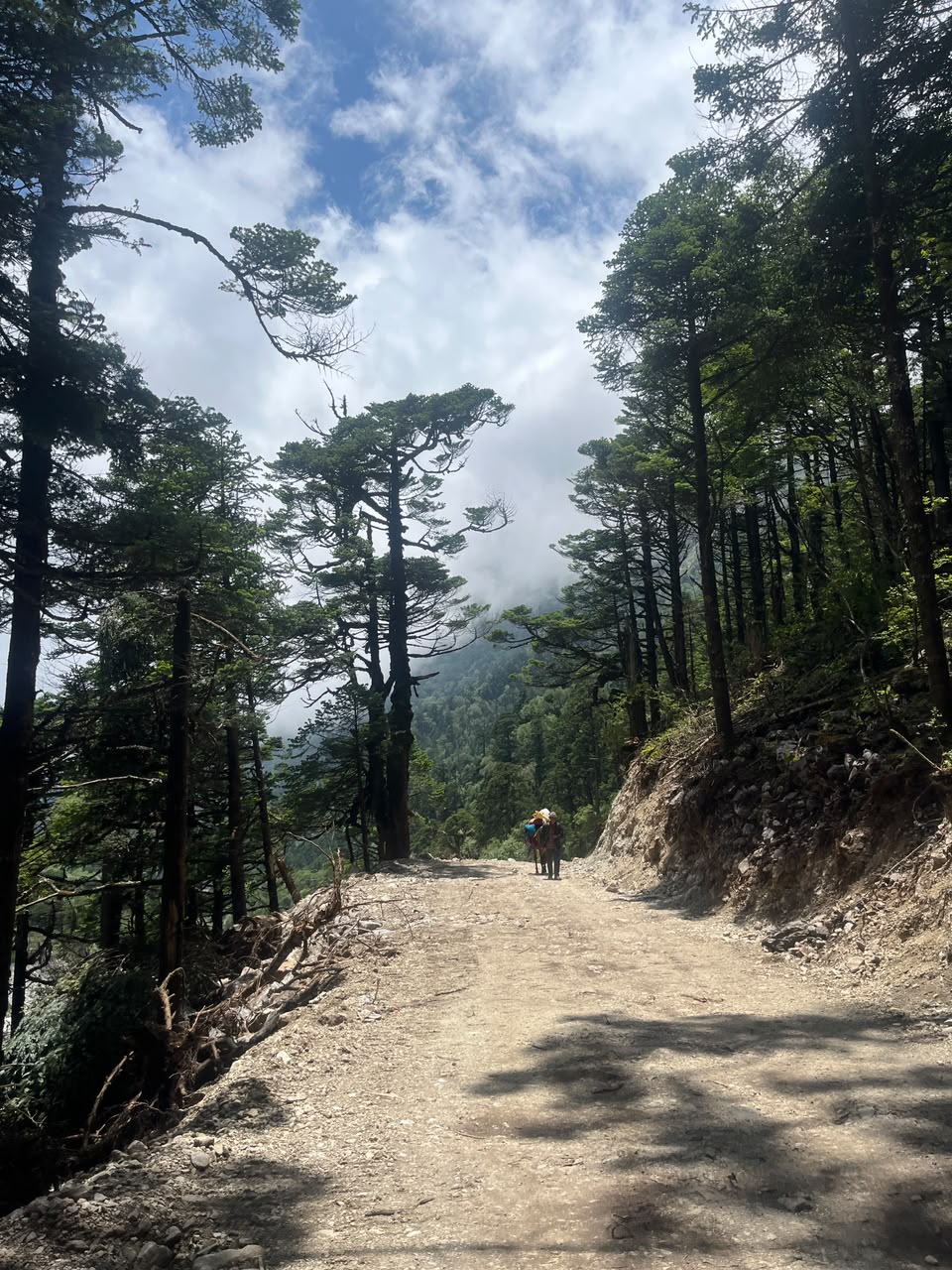
The Last Stretch Is Still on Foot
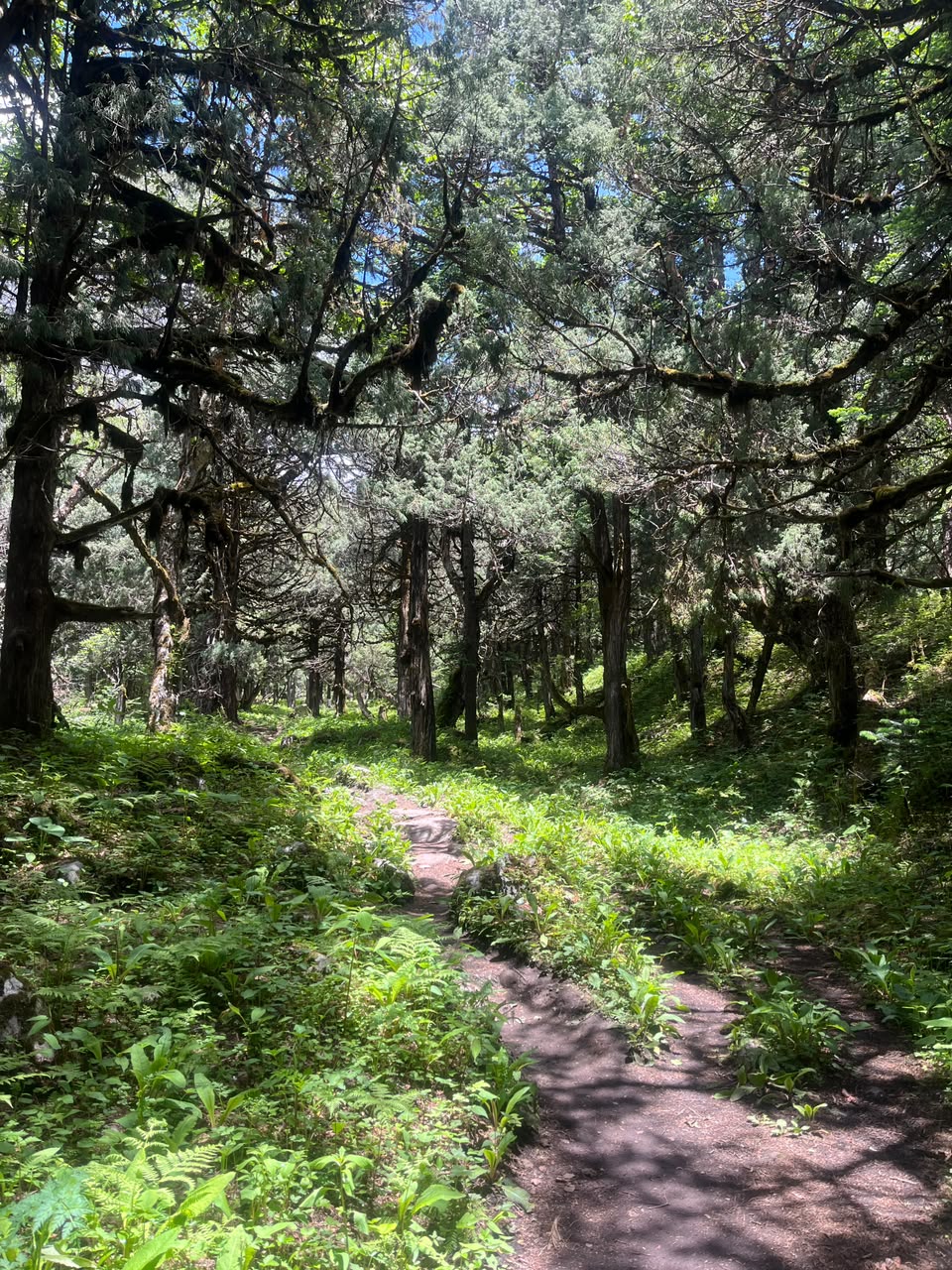
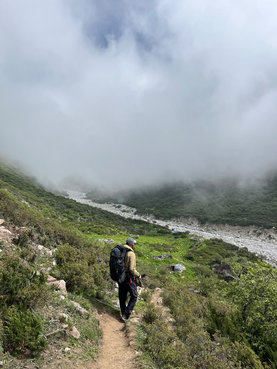
The road only gets you so far. From where the motorcycle track ends, it's roughly a 4-hour hike up to the main gumba (monastery) — and this is where Lapche stops feeling like a day-trip destination and starts feeling like the pilgrimage site it's always been. The trail climbs steadily through mossy, moss-draped conifer forest, quiet except for the wind moving through the branches.
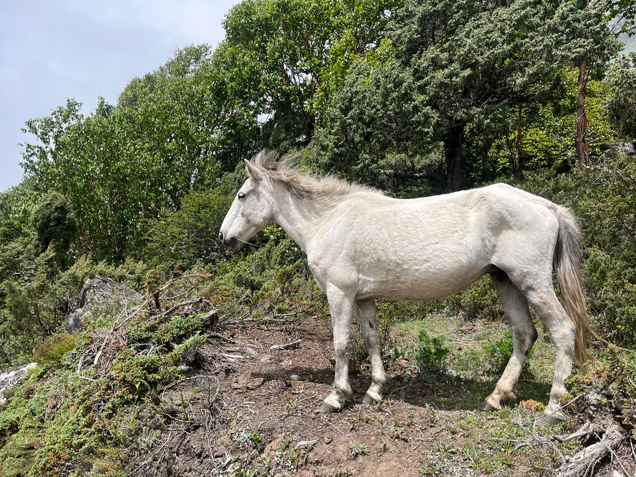
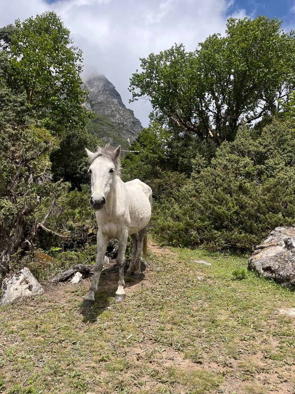
Wild horses graze loose along this stretch, entirely unbothered by hikers passing through — a reminder that this valley belongs to them as much as to anyone making the pilgrimage.
The River and the Falls
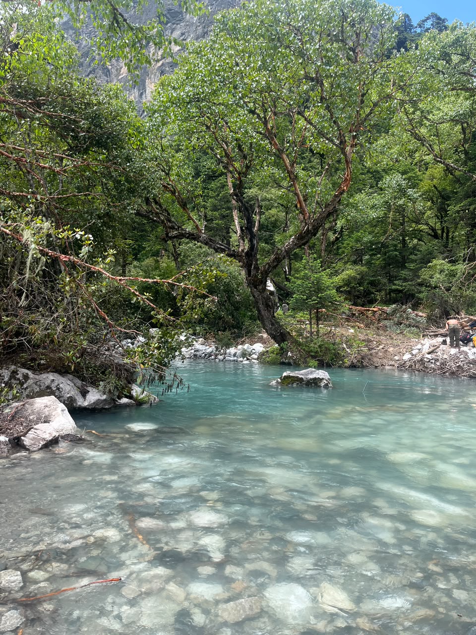
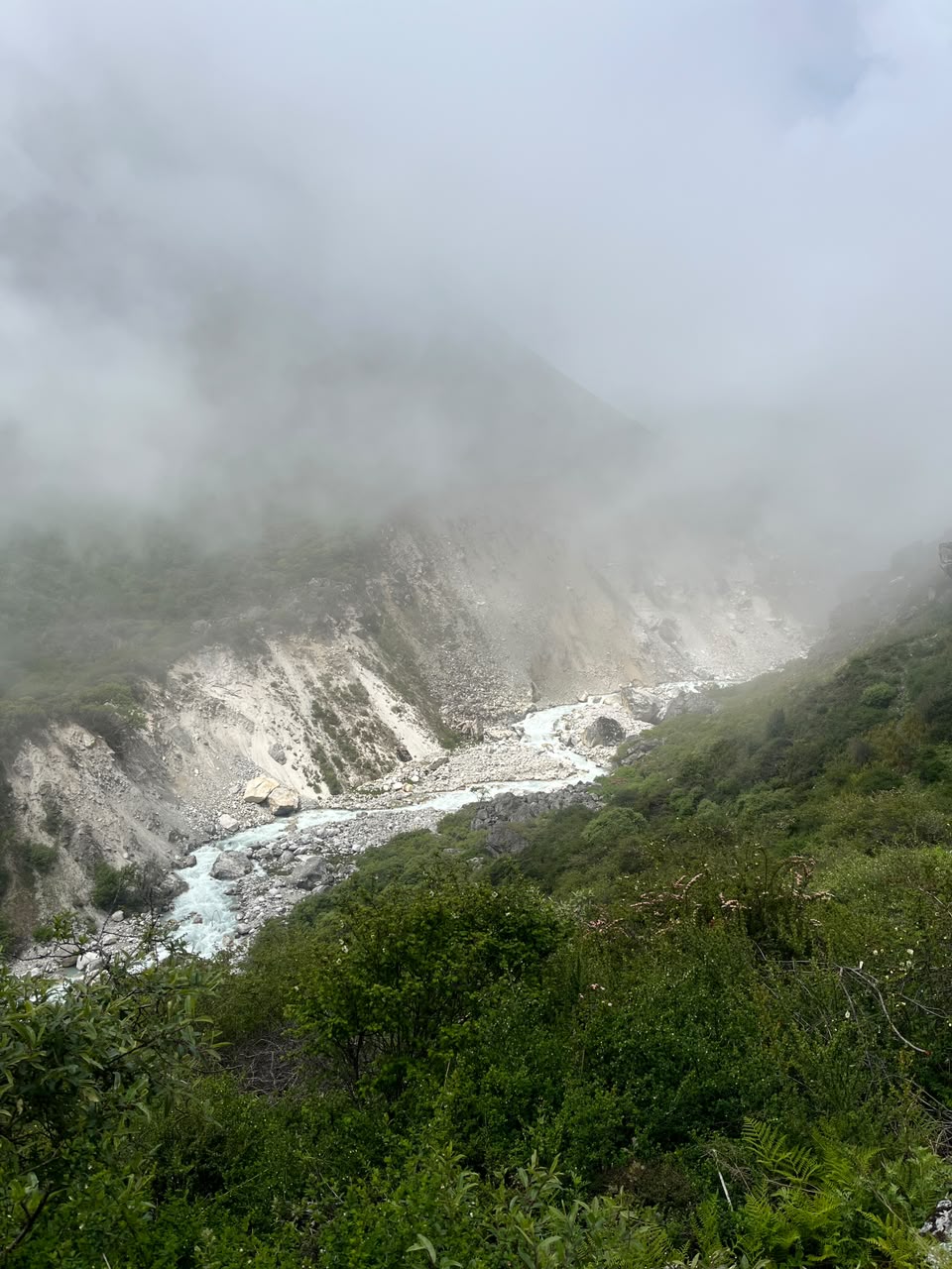
Partway up, the trail crosses a glacial stream running an impossible turquoise over white stone — cold enough to sting, clear enough to see straight to the bottom.
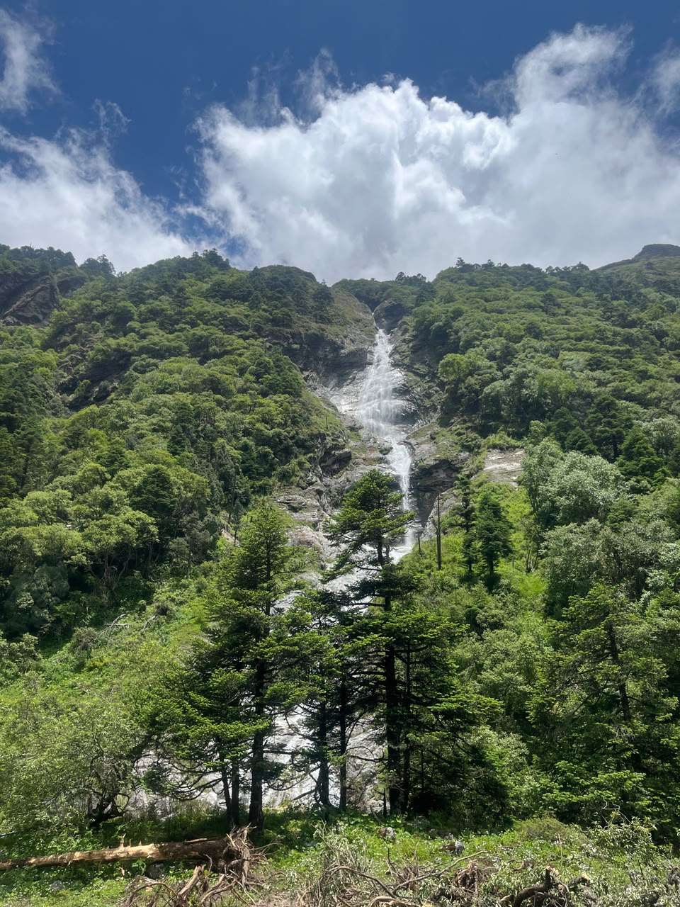
Not far beyond it, a waterfall drops straight off the ridge above, cutting a white line down bare rock through the trees. You hear it long before the trail brings you close enough to see it.
There's no shortcut around any of this — you're walking the last approach the same way pilgrims have for centuries, just compressed into an afternoon instead of spread across days.
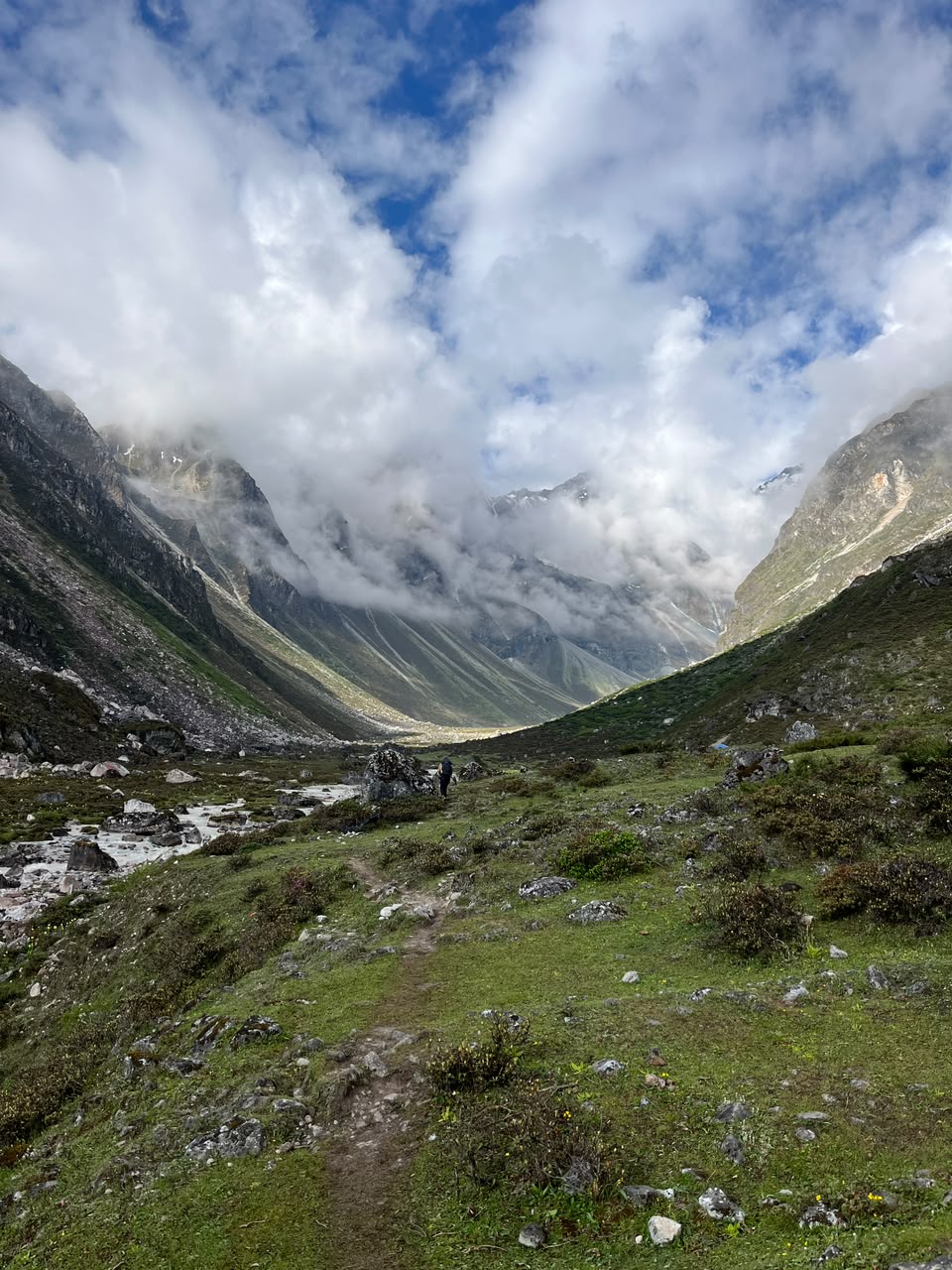
Higher up, the cloud comes down to meet you. One moment you can see the whole gorge below; the next, the ridgelines vanish and the trail becomes the only thing you can be sure of.
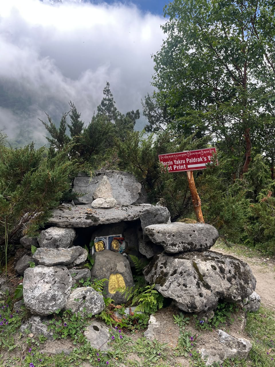
Partway up, the trail also passes a stone shrine tucked among boulders and juniper, marked with a hand-painted sign: Dorzin Yakru Paldrak's Yeti Footprint. Whatever you make of it, it's a reminder that this valley's folklore runs just as deep as its Buddhist history — the two have always lived side by side here.
Why Lapche Matters
Lapche's significance is spiritual as much as scenic — though standing beside that turquoise stream or under the waterfall, it's hard to separate the two. This is one of the places most closely associated with Jetsun Milarepa, Tibet's most revered yogi-poet, who is said to have meditated in caves throughout this valley in the 11th century. Those caves are still here, along with monasteries, mani walls, and a stillness that's hard to describe until you're standing in it — a silence that feels older than the road that got you there.
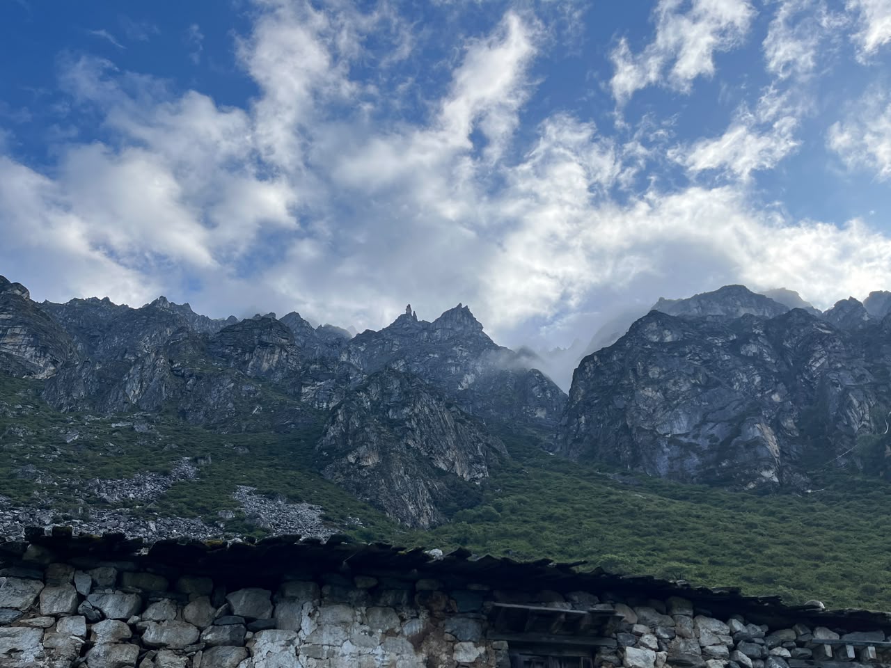
The valley sits within the Gauri Shankar Conservation Area, named for the twin sacred peaks — Gauri Shankar and its neighboring summits — that dominate the skyline. This is genuine border-zone Himalaya: thin population, minimal infrastructure, and a landscape that shifts fast from forested hillside to stark, jagged rock as you climb.
What to Expect on the Ground
- Ride prepared: This is a full day on a motorcycle over mixed terrain before you even start the hike — check your bike, carry spares, and don't attempt it in the monsoon when the dirt sections turn to mud.
- Budget real time for the hike: The 4-hour climb to the gumba comes after a long day of riding, so start the last stretch with enough daylight in hand rather than pushing straight through.
- A conservation area permit applies within Gauri Shankar Conservation Area — confirm current requirements and fees with the Nepal Tourism Board or a local operator in Dolakha before setting out, since these details shift on newly opened routes like this one.
- Respect the site: Lapche is an active pilgrimage destination, not a photo backdrop. Local monks and pilgrims still come here for the same reasons people have for centuries.
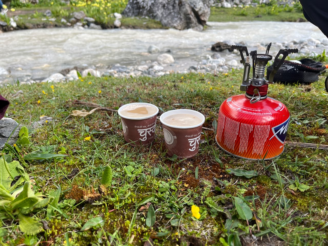
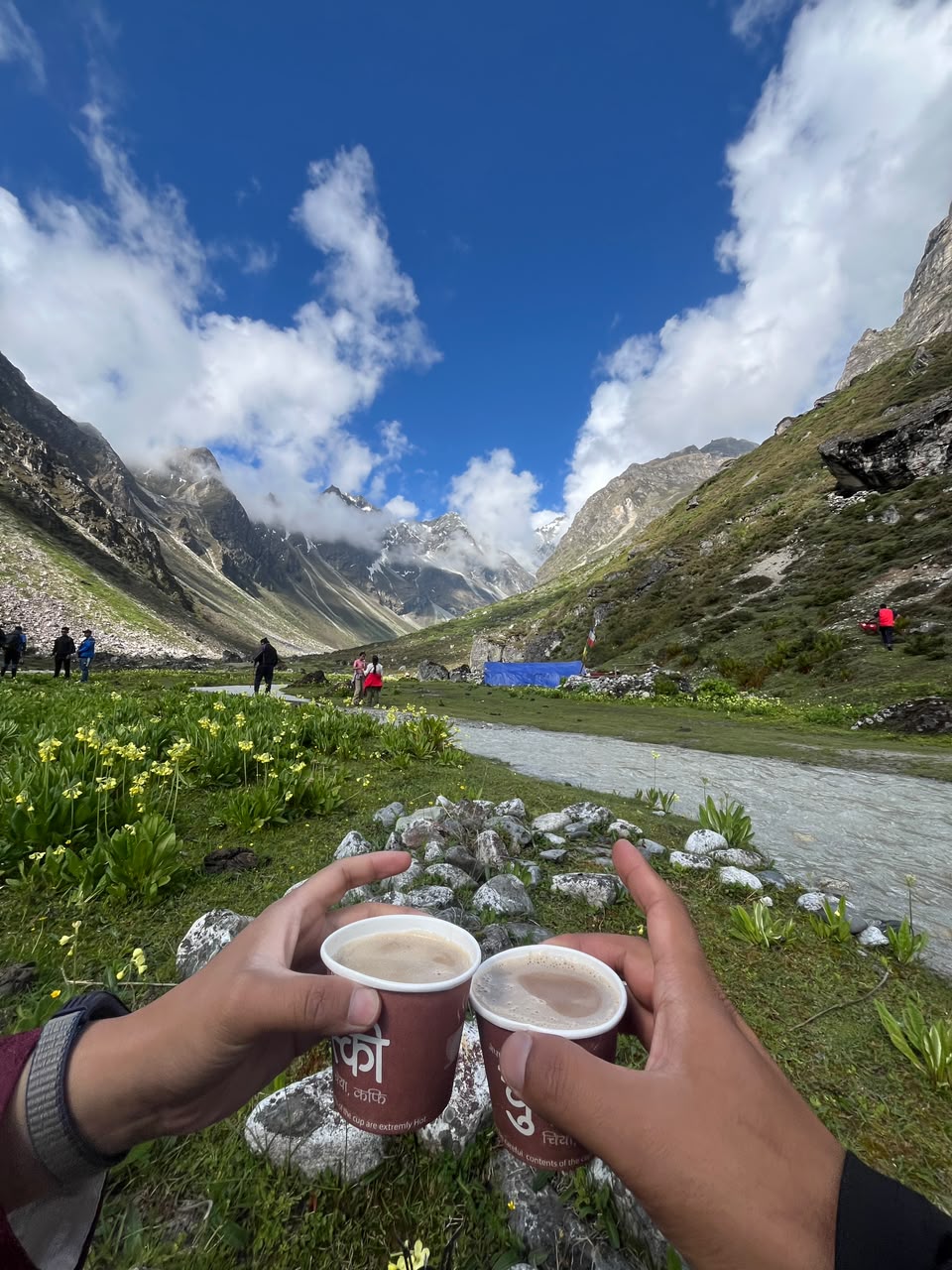
A tea break by the river, halfway up, is non-negotiable — a camp stove, a couple of paper cups, and the sound of glacial water is most of what you need.
The High Pasture Near the Gumba
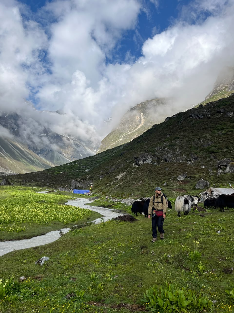
Closer to the top, the valley opens into wide grazing pasture, yaks scattered across the grass and cloud sitting low on the surrounding peaks. This is the last stretch before the gumba itself — the trail flattens out, the air feels thinner, and the sense of having arrived somewhere genuinely remote sets in properly.
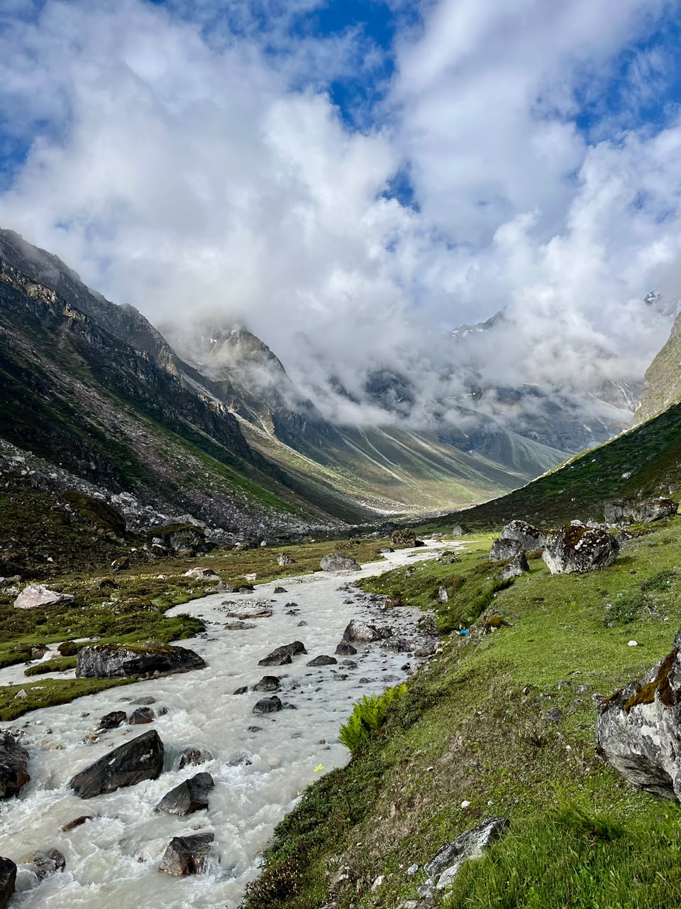
Below the pasture, the glacial river that's followed the trail for most of the day widens out into the main valley floor, framed by cloud-wrapped peaks on both sides.
Why I'd Go Back
There's a particular feeling that comes from reaching a place that used to require real commitment to see, and finding it hasn't been smoothed over by the fact that it's gotten easier to reach. Lapche still feels remote once you're standing at the gumba, even after riding most of the way there. If you want the full look at the ride, the hike, and the valley itself, the video covers all of it — Lapche Valley in One Day, on YouTube. For more on the wider Himalayan region Lapche belongs to, see our guide to the Nepal Himalayas.